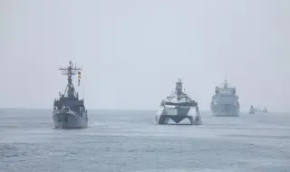
The EU has decided to publish satellite images from the “Copernicus“ programme, covering part of the Gulf of Oman, with a 24-hour delay at the request of the US, which resumed military action against Iran on 7 July, according to a decision published in the EU Official Journal and cited by Agence France-Presse.
On 26 May 2026, US authorities asked the EU High Representative for Foreign Affairs and Security Policy, Kaia Kallas, to postpone by one day the publication of data from the “Sentinel-1” satellites and "Sentinel-2" covering the geographical area of the Gulf of Oman.
In a decision of 13 July, the Council of the EU considered it "necessary" to postpone the publication of these images "to ensure that they are not used by third countries or non-state actors in a way that could pose a threat to the interests of the Union and its Member States in the region or to those of their allies".
The area affected by this decision corresponds to the part of the Gulf of Oman where the US has imposed a naval blockade on Iran, AFP specifies.